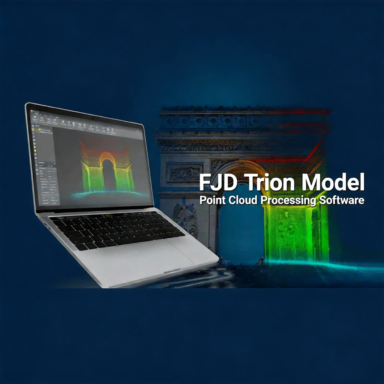
From captured points to drawings, models and decisions.
The software is a key reason we choose FJD. Trion Model brings processing, analysis and specialist deliverables into one connected workflow — helping you get practical value from every scan.
Process & alignMeasure & analyseDraw & modelExport & share
See the workflow
Make your data work harder.
See a point cloud visualisation from FJD, then explore the processing tools and specialist modules below.
Official FJD point cloud visualisation example. Available tools vary by software version.
Explore the toolset
A complete workflow, with room to grow.
The feature guide below covers the desktop software and specialist modules. Availability depends on your licence, module, software version and compatible scan data; not every feature is included with the Basic licence.
01
Process and combine scans
Build a usable project from your captured data.
Point cloud reconstruction and colourisation from compatible FJD scan data.
Align and merge scans, optimise registration and work with resumed scans on supported devices.
Georeference data with GNSS registration, coordinate transformations and elevation fitting.
Correct tilt and geometry; remove moving objects and outliers; densify, fill and subsample points.
Calculate normals and density, and check registration accuracy using profiles and verification reports.
Queue processing links mapping and camera colourisation; current releases support up to 50 datasets.
02
View, measure and inspect
Understand the space and check the quality of the capture.
Switch between 2D and 3D views, perspective and orthographic projection.
Colour points by RGB, elevation, intensity or classification; adjust point size and clipping boxes.
Inspect sections and density, take measurements, and add project notes.
View panoramas and export imagery where supported by the capture.
Calculate surface areas from selected points and use profile analysis to inspect cross-sections.
03
Clean, classify and organise
Separate the information that matters to your task.
Automatic and manual classification, with editable results.
Image-assisted selection identifies the related points in a scan.
Deep-learning classes include terrain, buildings, vegetation, power infrastructure, vehicles, water and signs.
Crop to vector boundaries or paths, extract selected areas and create slices.
Divide large datasets into grid tiles for export.
04
Drawing module
Produce CAD deliverables directly from the scan.
Extract contours and draw vector geometry from point cloud slices with panorama assistance.
Create lines, polylines, arcs, circles, ellipses, rectangles and polygons; organise them on layers.
Edit with trim, extend, intersect, copy, rotate, mirror and offset tools.
Use snaps, polar tracking, orthographic constraints, grid axes and reference coordinates.
Add linear and aligned dimensions, radii, diameters, arc lengths, text and leaders.
Work with blocks, hatches, solid fills and explode operations; export drawings to DXF.
Automatic indoor floor-plan extraction is documented for scenes up to 200 m².
3D drafting supports standard and custom drawing planes, including three-point and screen-parallel planes.
Save slices from drawing planes; select by box or polygon and copy using a chosen base point.
05
Terrain, contours and volumes
Extract useful information for earthworks and material management.
Generate triangulated surfaces and contour lines with annotation controls.
Calculate enclosed and grid-based volumes, and compare two survey stages.
Use standard or custom reference planes, including supported imported surfaces.
Select the complete area or a boundary; detect pile boundaries and filter unwanted height outliers.
Produce calculation reports to support review and documentation.
06
Mesh and reality modelling
Turn capture data into surfaces and presentations.
Build triangular meshes, fill holes, smooth surfaces and reduce mesh complexity.
Create textured meshes with supported imagery; current releases improve texture placement.
Generate 3D Gaussian Splatting scenes for realistic exploration of captured spaces.
Use image fusion and create videos from a scan trajectory or chosen keyframes.
Share supported results through Model Web for browser-based review.
07
Forest module
Analyse individual trees and wider woodland surveys.
Extract ground points and segment individual trees; add, merge or remove tree records.
Analyse crowns and derive tree locations, heights and crown widths.
Calculate tree properties, timber volume and carbon estimates; review species identification results.
Create distribution maps and forestry reports for documentation and comparison.
Newer tools support airborne forestry data, individual-tree models and curvature analysis.
08
Site Survey module
Record site features and present survey findings.
Combine a base map with drawing and survey-point marking.
Measure distances and areas, and document site features.
Prepare survey reports from the recorded information.
09
Section analysis and specialist tools
Compare captured geometry with design information.
Import a design axis and section, generate measured sections and compare the results.
Annotate differences and produce section-analysis reports.
Current specialist tools include pipe-centreline extraction and mine-tunnel outline drawings.
FJD also describes robot-mapping applications; speak to us about the appropriate module for your task.
10
Export and continue your workflow
Keep your data useful beyond the scanner.
Point cloud exports include LAS, E57, PLY and PTS; LAZ is supported in current reconstruction workflows.
Export meshes in OBJ, PLY and STL, and vector drawings in DXF.
Convert LAS to RCP/RCS for Autodesk workflows in supported versions.
FJD offers a Revit plug-in for a connected scan-to-BIM workflow; confirm compatible Revit versions before purchase.
Export compatible camera images and pose information for MipMap workflows.
Use Model Web to share projects with clients and colleagues.
Choose your setup
Licences and modules.
Start with the tools you need and add specialist modules as your work develops.
RRP · GBP · excluding VAT
Licence / module
RRP
Basic — permanent licence
£1,100
Pro — Basic + Forest + Drawing
£6,000
Drawing module — permanent
£1,800
Forest module — permanent
£2,400
Site Survey module — permanent
£1,800
Dongle key
£300
Section analysis and other licence options
POA
From desktop to your team
Process in Model. Share with Model Web.
Use the desktop application for detailed processing and specialist work, then share supported results for browser-based review.
Feature information checked against FJD documentation and published releases on 28 September 2026. The downloadable manual covers an earlier release; see FJD’s support centre for current updates.